
Products

Marine systems built for the field.

GeoSyn develops compact instrumentation and software for ocean-bottom observations, marine seismic operations, real-time monitoring and geophysical interpretation.

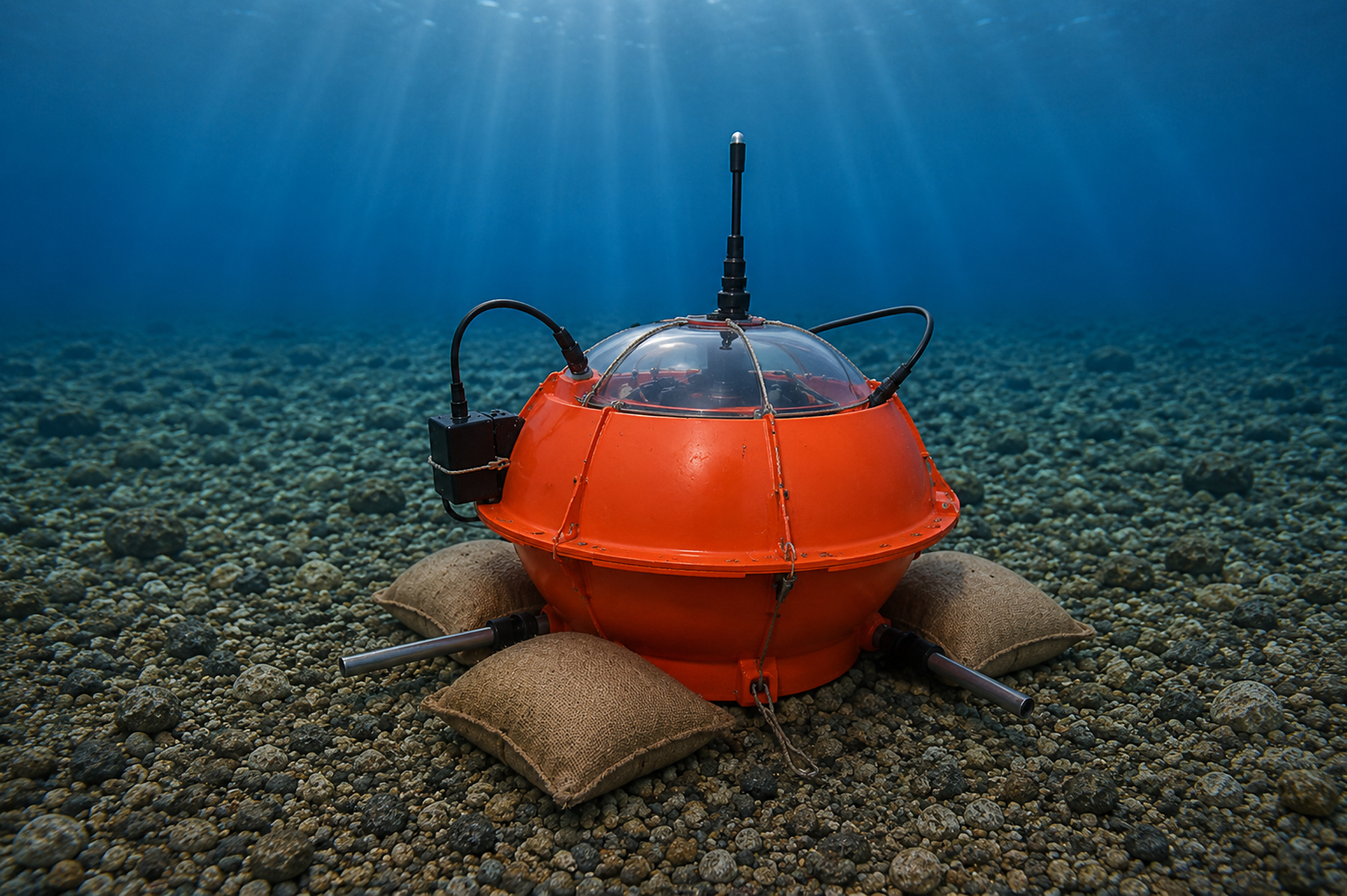
Ocean Bottom Station on the seafloor
01Ocean-bottom instrumentation

Ocean Bottom Station

A compact station for passive seismic observations and active-source marine exploration.

The GeoSyn OBS is housed in a 17- or 13-inch glass sphere with a protective casing. The electronics remain sealed from the marine environment while data reading and battery recharging can be carried out without opening the unit.

Passive + activeDesigned for earthquake observations and marine exploration projects.
Simplified operationsDeployment and recovery do not require specialised vessels.
Acoustic transducerSupports data-quality control and location of the station on the seafloor.
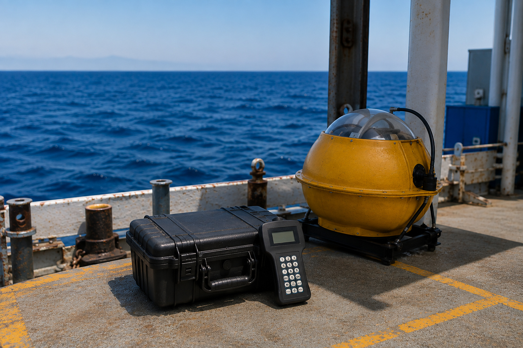
GeoSyn Deck Unit equipment on a vessel
02Shipboard communication

Deck Unit

The communication link between the vessel and ocean-bottom instruments.

The Deck Unit combines a handheld electronic controller, an acoustic transducer and a purpose-built cable. The controller programs and commands communication with the OBS, while the transducer is lowered into the sea to communicate with and locate the station.

Handheld controllerAcoustic transducerConnection cableProtective case
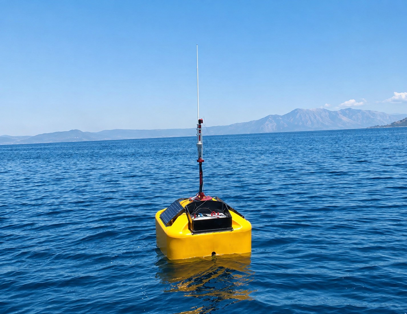
GeoSyn Seismic and Tsunami Realtime Station at sea
03Near-real-time monitoring

Seismic & Tsunami Realtime Station

Continuous seafloor observations with transmission to a central recording station.

Seafloor measurements are transferred to the surface buoy by cable. The buoy then transmits data via GPRS or radio link — up to 70 km — for near-real-time access and analysis.

Simultaneous observationRecords seismic and tsunami-related events at the seafloor.
Remote transmissionGPRS or radio communication to the central station.
Adaptable architectureThe system can be modified for satellite communication and project-specific channel requirements.

04 — Software

Tools for modelling and microseismic processing.

GeoSyn software supports seismic velocity modelling and earthquake localisation from local and regional networks.

VELMODVelocity modelling

From wide-aperture data to constrained velocity-depth models.

VELMOD uses tomography and forward modelling with kinematic and dynamic ray tracing. It accepts common receiver or common shot gathers recorded by stand-alone stations.

  • 2D and 3D observation geometries
  • First-break and later-arrival tomography
  • Topography incorporated directly in the modelling process
  • Integration with other geophysical information
MICSEISMicroseismic processing

Process local and regional network data and locate seismic events.

MICSEIS streamlines microseismic data processing, phase picking and earthquake localisation. Output can be exported for visualisation and further analysis.

  • Event detection and extraction workflow
  • Phase picking and arrival-time processing
  • Earthquake localisation
  • Outputs suitable for mapping and statistical analysis

Need a system for a specific project?

Talk to GeoSyn